28 Mar 2025
Richelle U. Moskvichev, Anna B. Mikkelsen, Tiffany R. Anderson, Sean F. Vitousek, Joel C. Nicolow & Charles H. Fletcher. Wave driven cross shore and alongshore transport reveal more extreme projections of shoreline change in island environments. Sci Rep 15, 10794...
29 Jul 2024
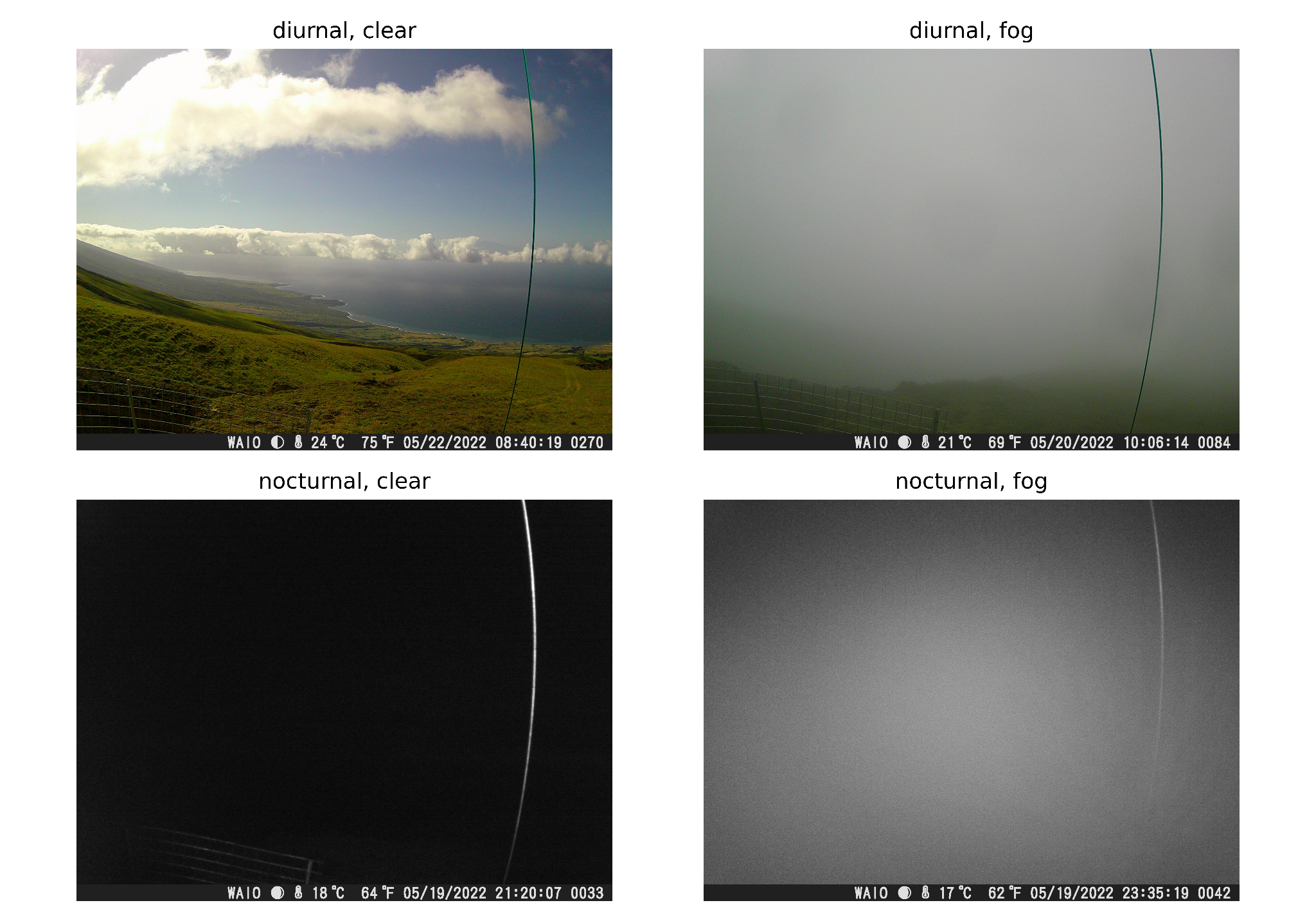
Nicolow, J., Sadowski, P., DeLay, J., Juvik, J., T., Tseng, H., & G., Giambelluca (2024). A Machine Learning Method for Detecting Fog in Mountain Trail Camera Images. Hawai‘i Conservation Conference.
16 Apr 2024
DeLay, J., Nicolow, J., Sadowski, P., G., Giambelluca, T., & Tseng, H. (2024). Determining Fog Frequency with Elevation on Mt. Kaʻala. American Association of Geographes.
Poster presentation at Accelerating Research in the Age of AI: A Synergistic Workshop with Google on March 25th at the Sullivan Conference Center
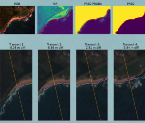
Satellite-Derived Shorelines U-Net Weighted BCE loss Machine learning Computer vision
Read MoreNeural Network Implemented in Numpy and Trained/Evaluated on MNIST
Neural network Numpy Backpropagation Machine learning MNIST
Read More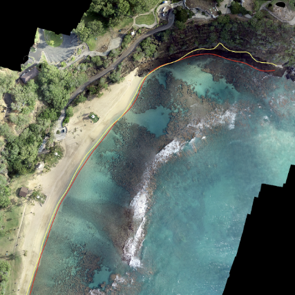
CoastVision is an open-source Python framework geared towards generating satellite-derived shorelines (SDS) in PlanetScope imagery.
Python Pytorch Unet Machine learning Image segmentation Satellite-derived shorelines GitHub
Read More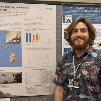
Poster presentation 'A Machine Learning Method for Detecting Fog in Mountain Trail Camera Images'
Fog Cloud water interception Image classification Machine learning Computer vision
Read More